Waldo Canyon Fire Images From The West Side
Click on the thumbnails to expand.
 |
 |
 |
 |
|---|---|---|---|
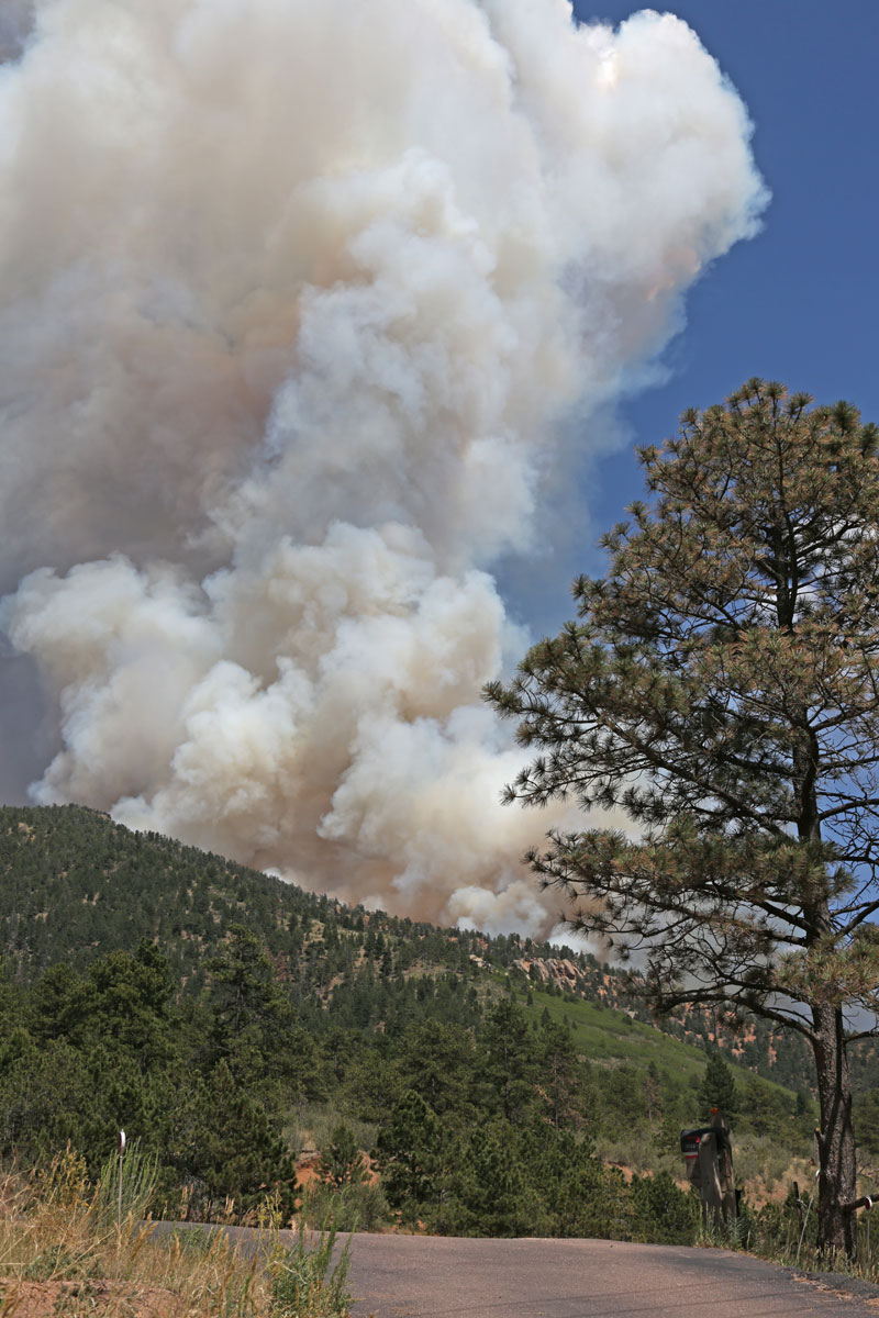
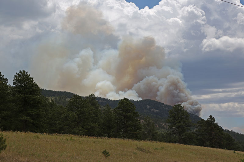
Ute Pass; June 23 at 3:15, 2012 |
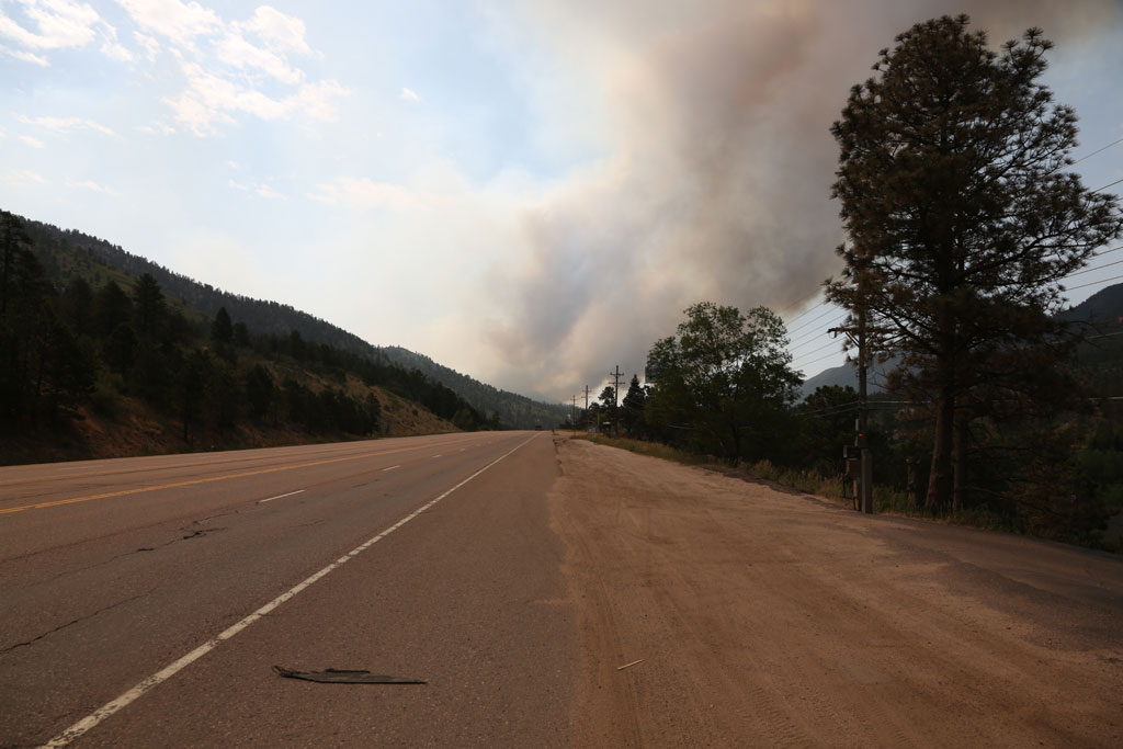
Hwy 24 near Colorado Bust; June 24 at 9:55 |
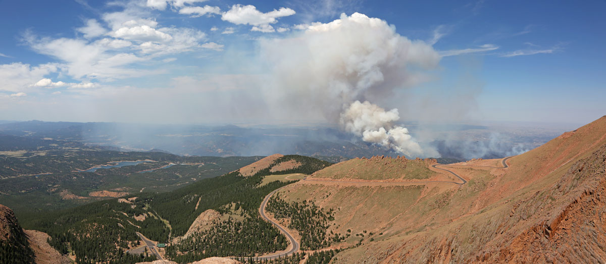
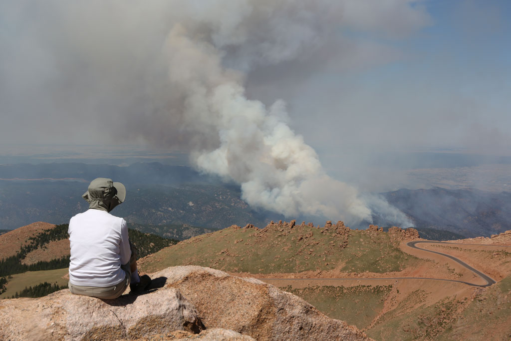
View from Devils Playground (Pikes Peak); June 25 at 3:40 |
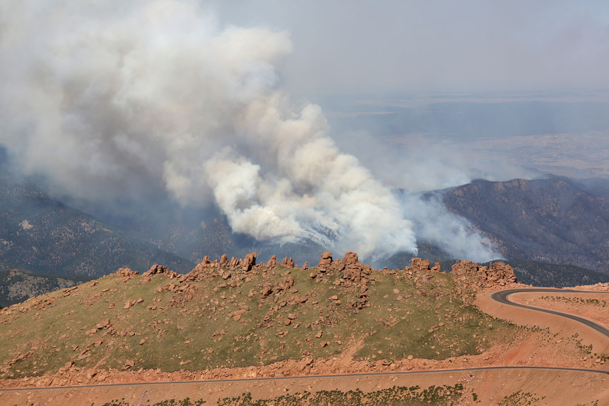
View from Devils Playground close up; June 25 at 3:40 |
 |
 |
 |
 |
From Devils Playground |
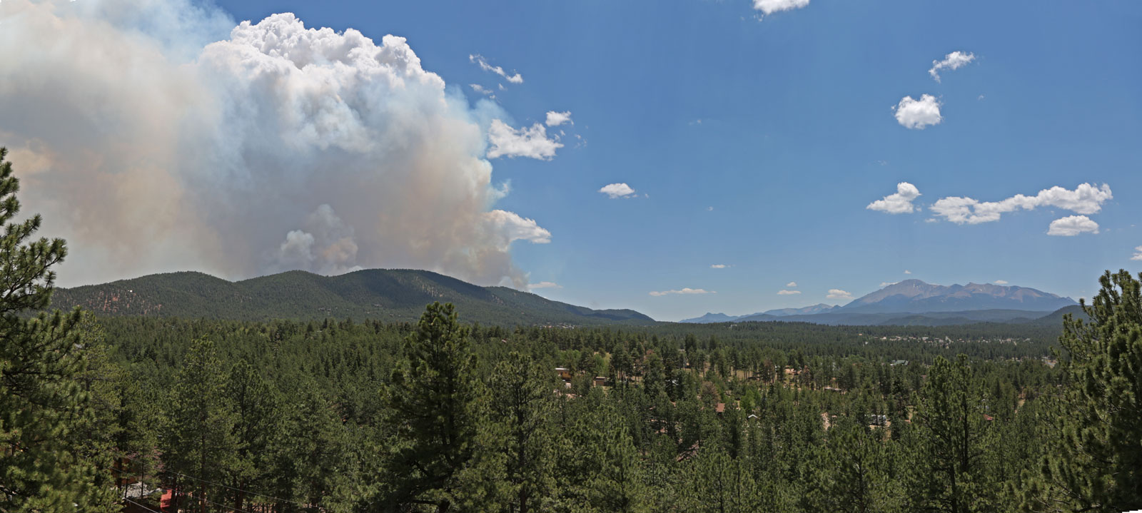
From north Woodland Park; June 26 at 1:10 |
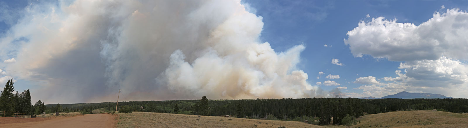
2 miles northwest from Rampart Reservoir; June 26 at 4:35 |
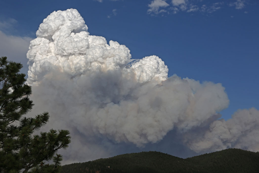
Pyrrocumulus cloud over Colorado Springs viewed from the west; June 26 at 6:35 |
 |
 |
 |
 |
From Woodland Park Walmart parking lot; June 27 at 12:25 |
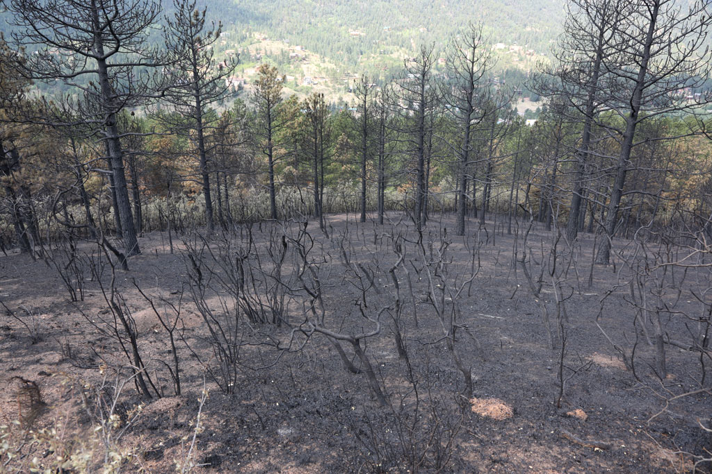
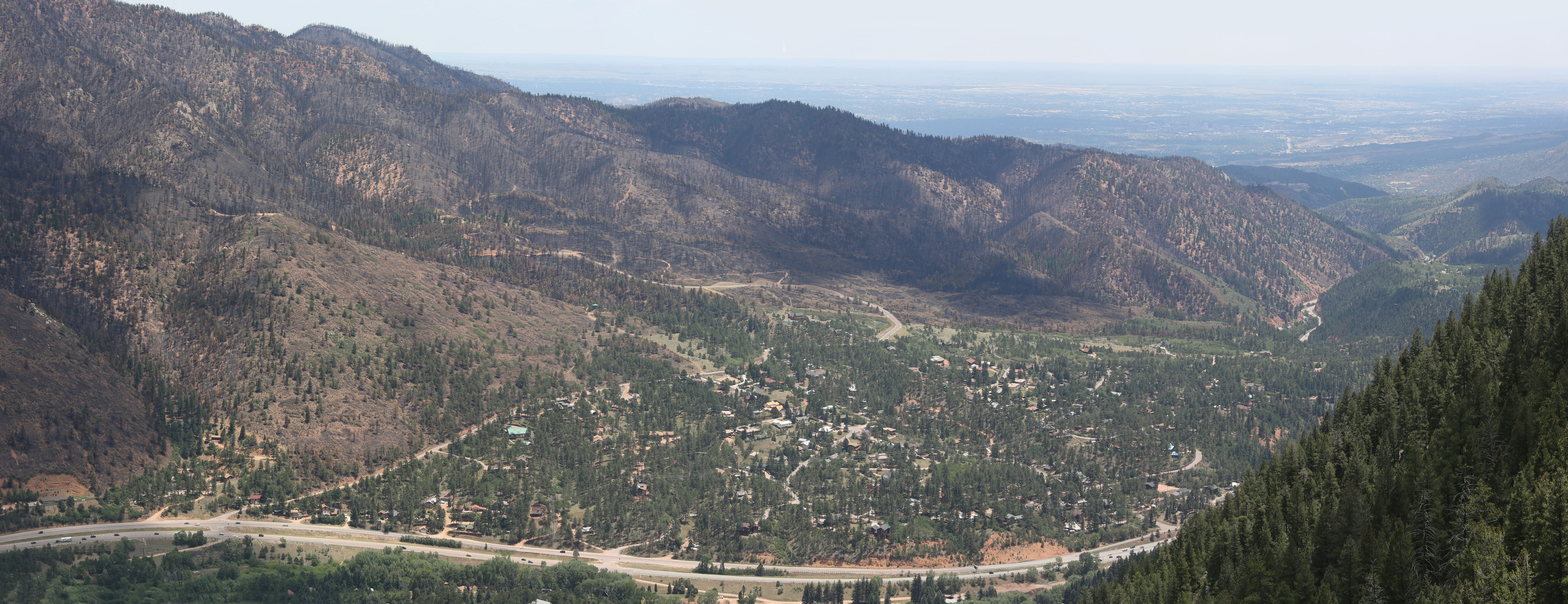
Burned forest in Ute Pass; July 5 |
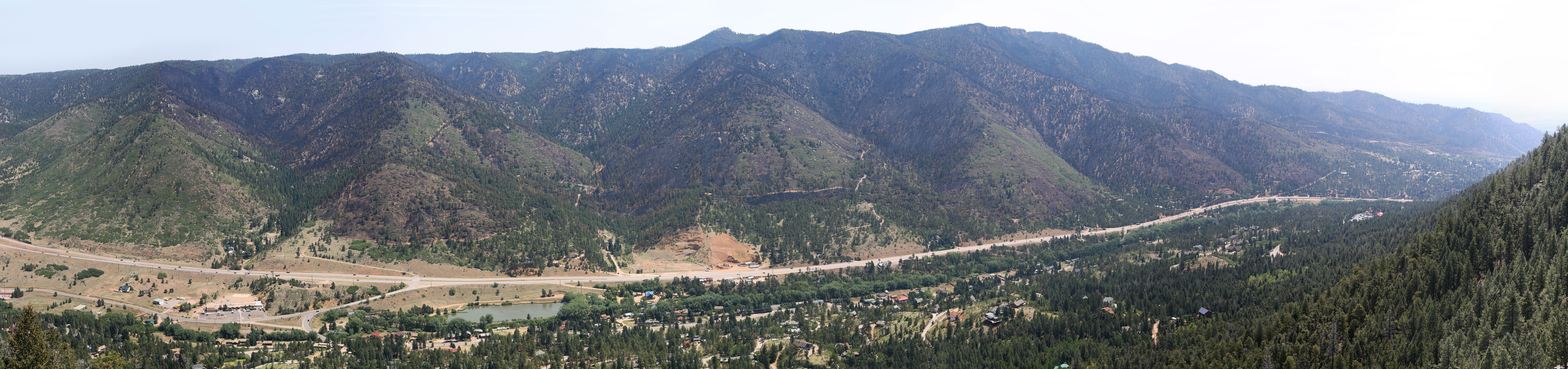
Rampart Range near Chipita Park; July 4, 2012 (hi res) |
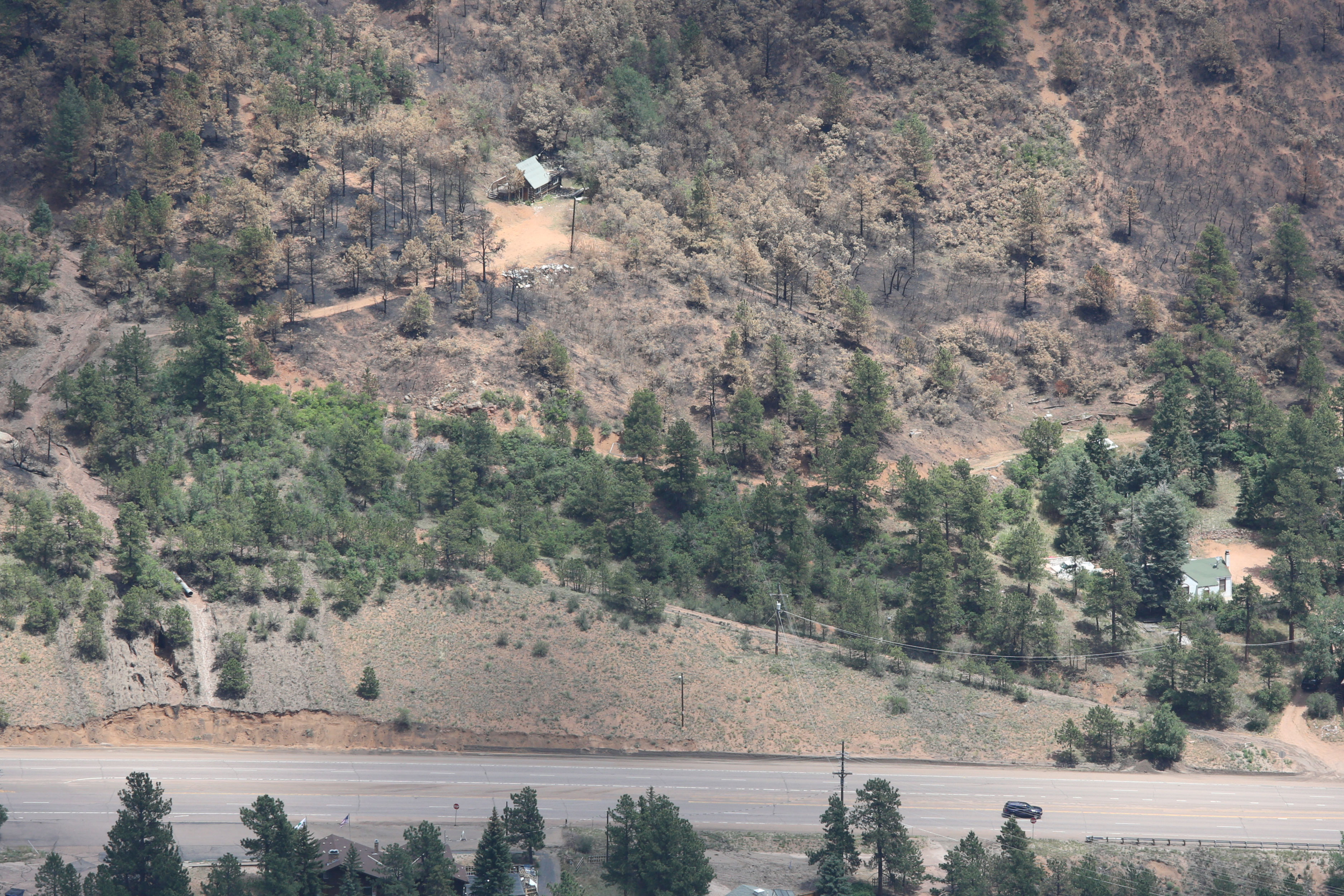
The only burned house in Cascade. Note that the flood wiped out the access road. |
 |
 |
 |
 |
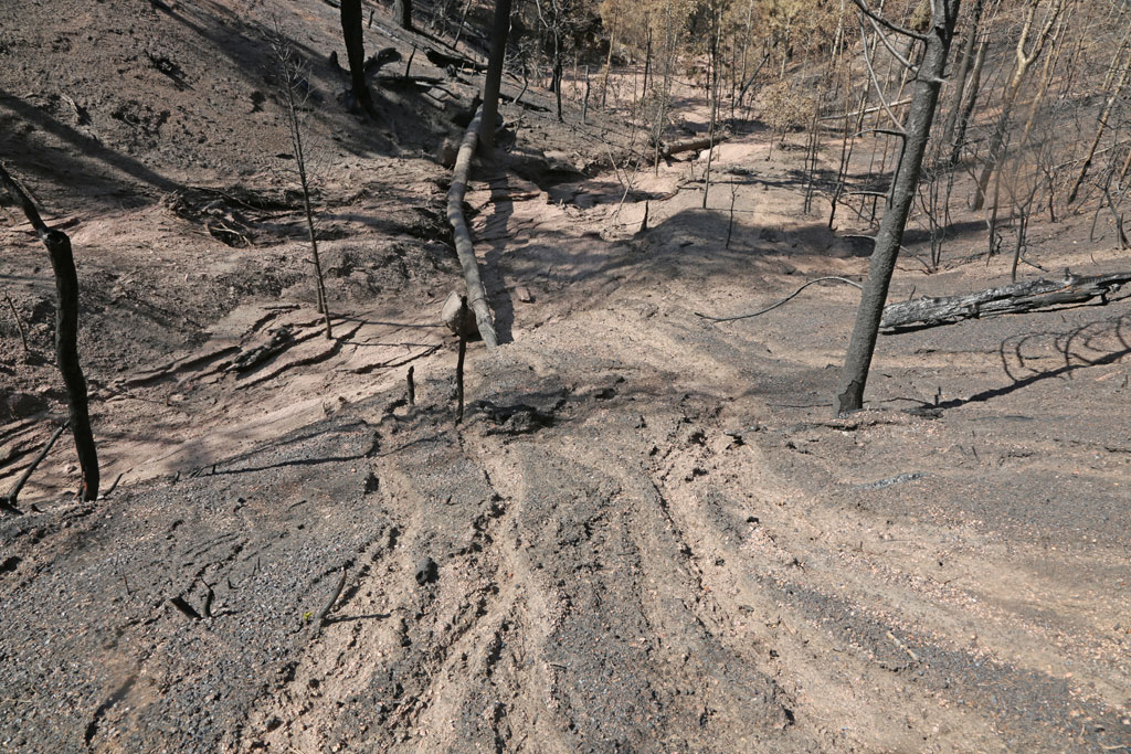
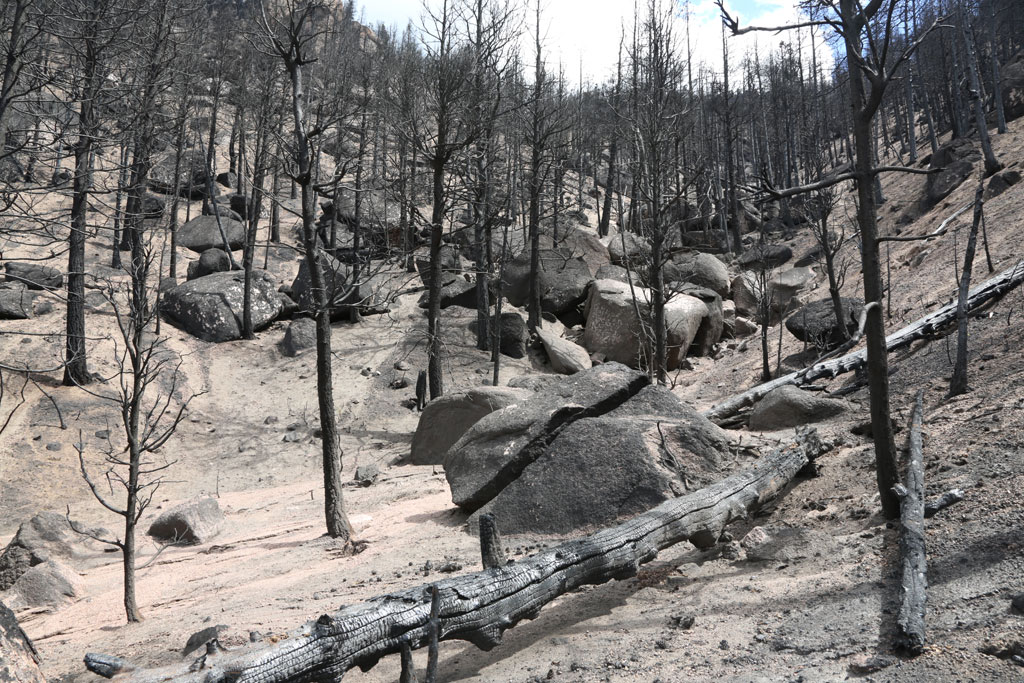
Upper Gulch C: origin of flooding near Wellness Center |
Wash in the upper gulch |
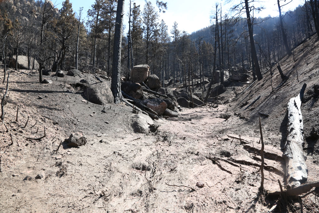
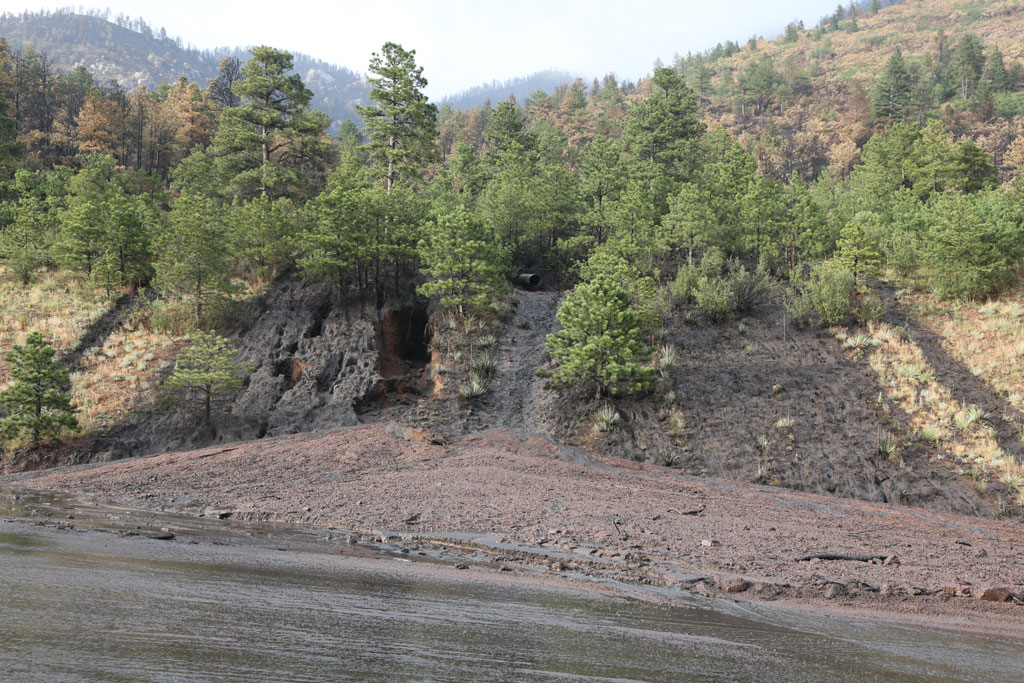
Cascade area (hi res) |
The wash origin |
 |
 |
 |
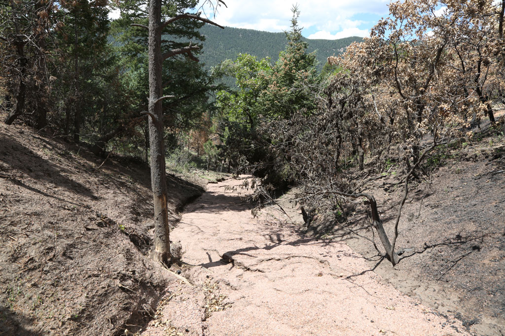 |
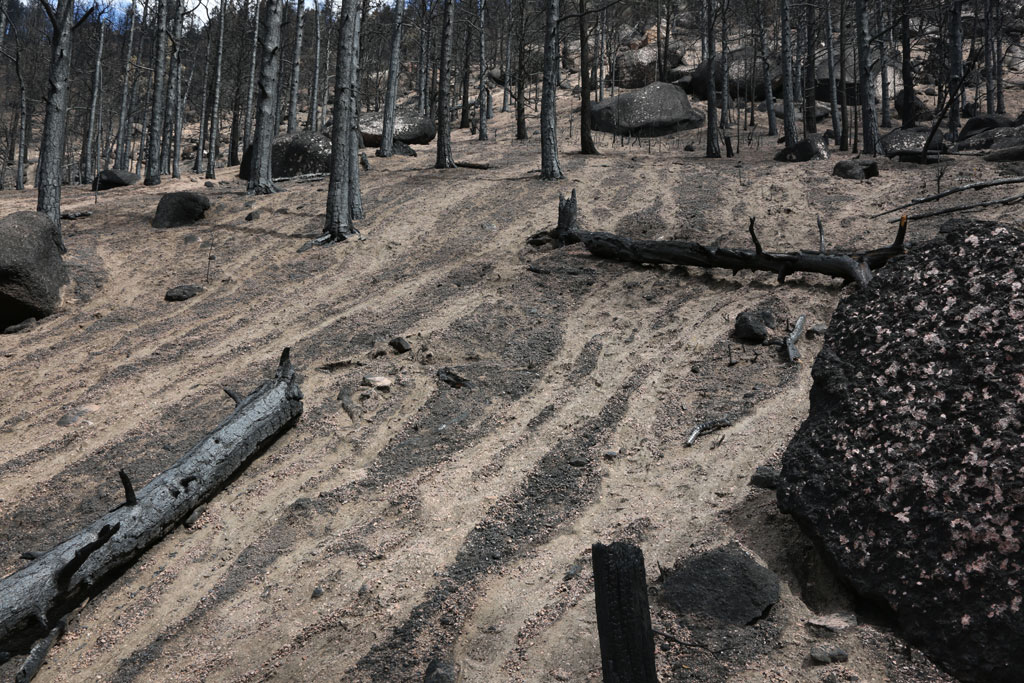
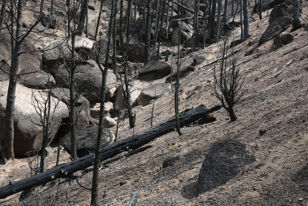
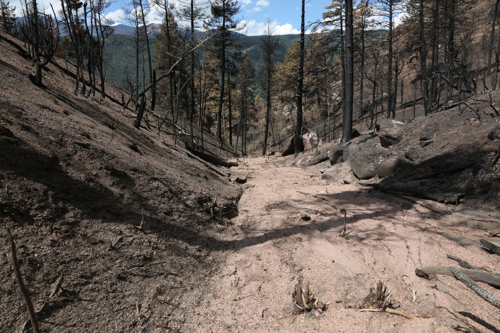
| Heavy burned forest | Fresh growth on the heavy burned forest: July 22. | The wash in the middle part of Gulch C |
The wash in the lower part of Gulch C. See how high the mud flew. |
 |
|||
| Mud spill on Hwy 24 on July 9. |
Here are some great shots from the other side or a You Tube video.


© 2012 PikesPeakPhoto. All rights reserved.