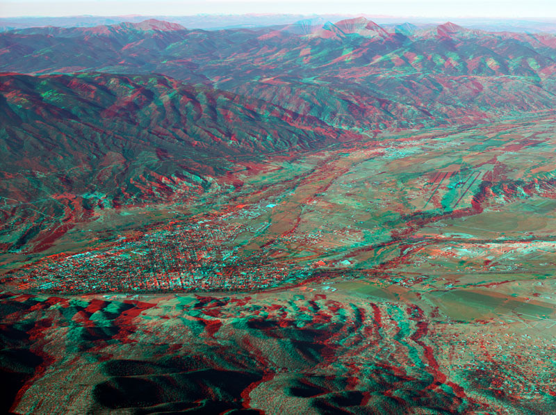
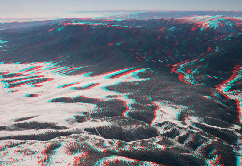
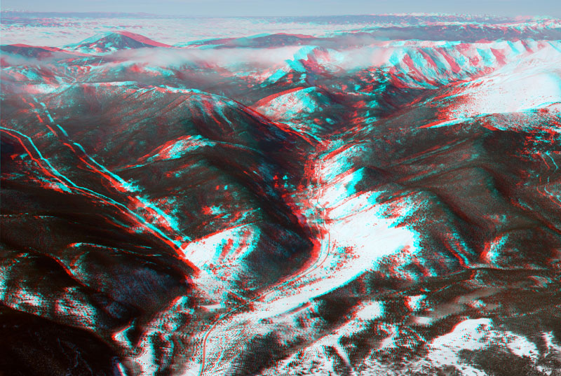
Click on the photo to enlarge and on the title to view anaglyph - the 3D image requiring red/cyan ![]() glasses.
glasses.
![]()
![]()
![]()
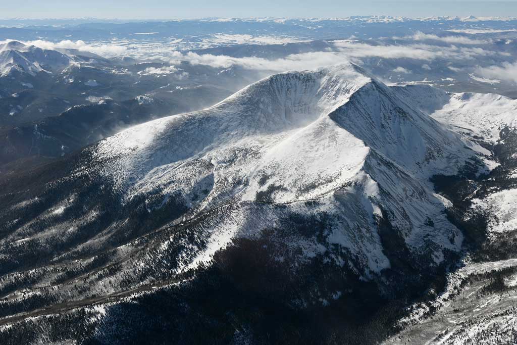
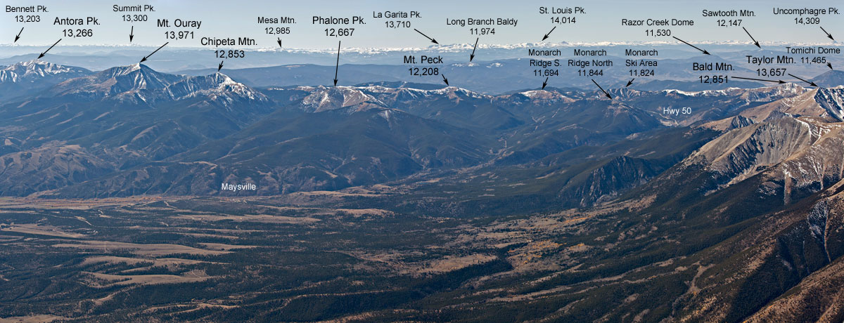
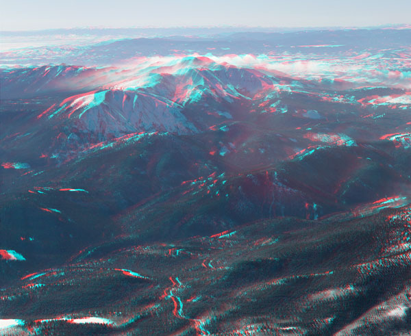
Aerial photo of Mount Ouray. September 27, 2007 at 8.36 a.m. Photo Technical Data |
 |
 |
 |
 |
 |
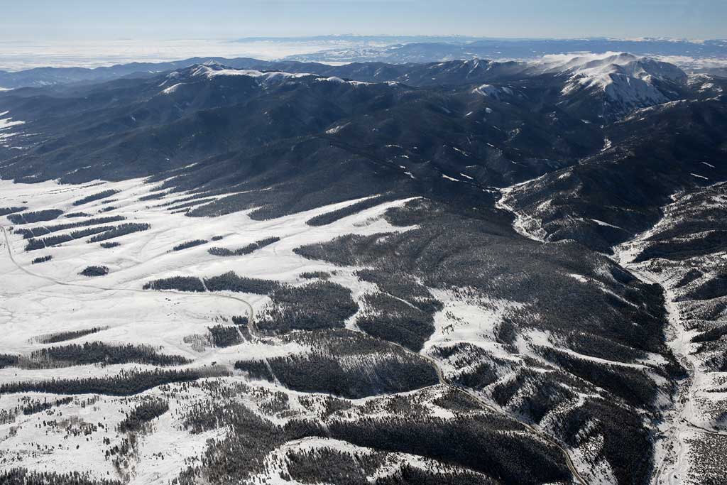
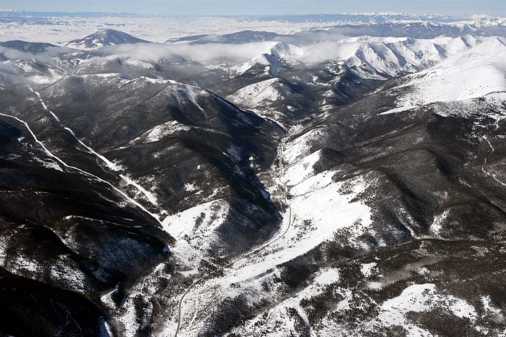
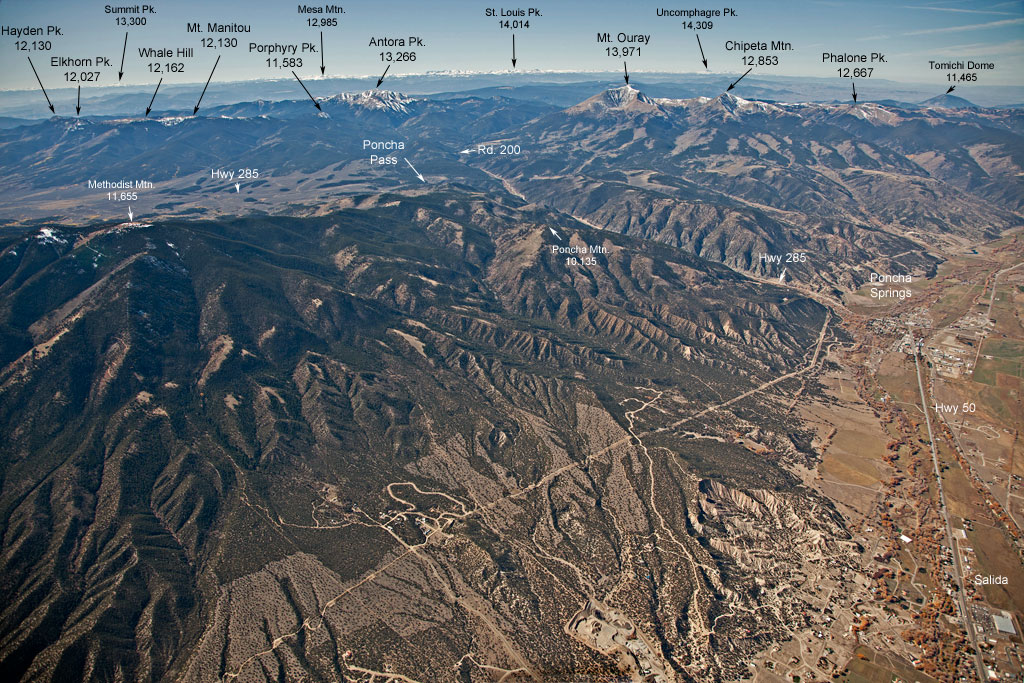
The Valley |
||||
 |
 |
 |
 |
 |
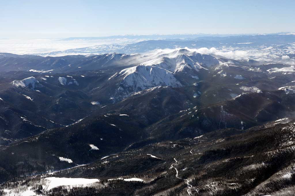
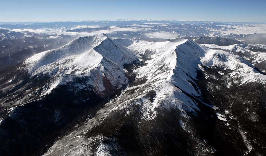
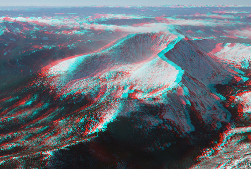
Antora to Monarch |
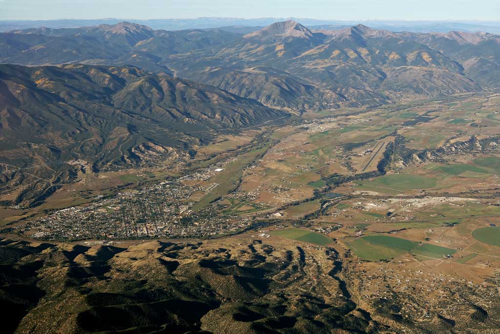
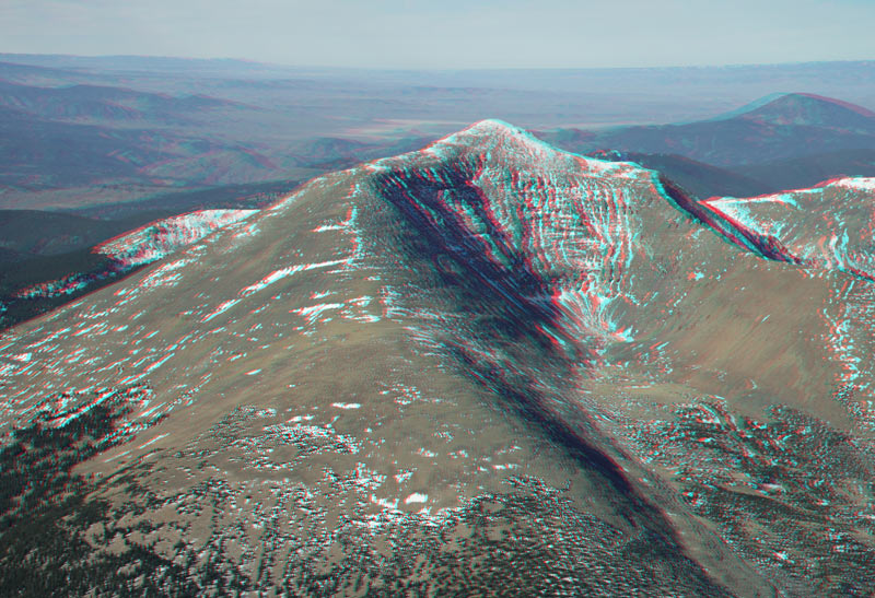
Salida in 3D |
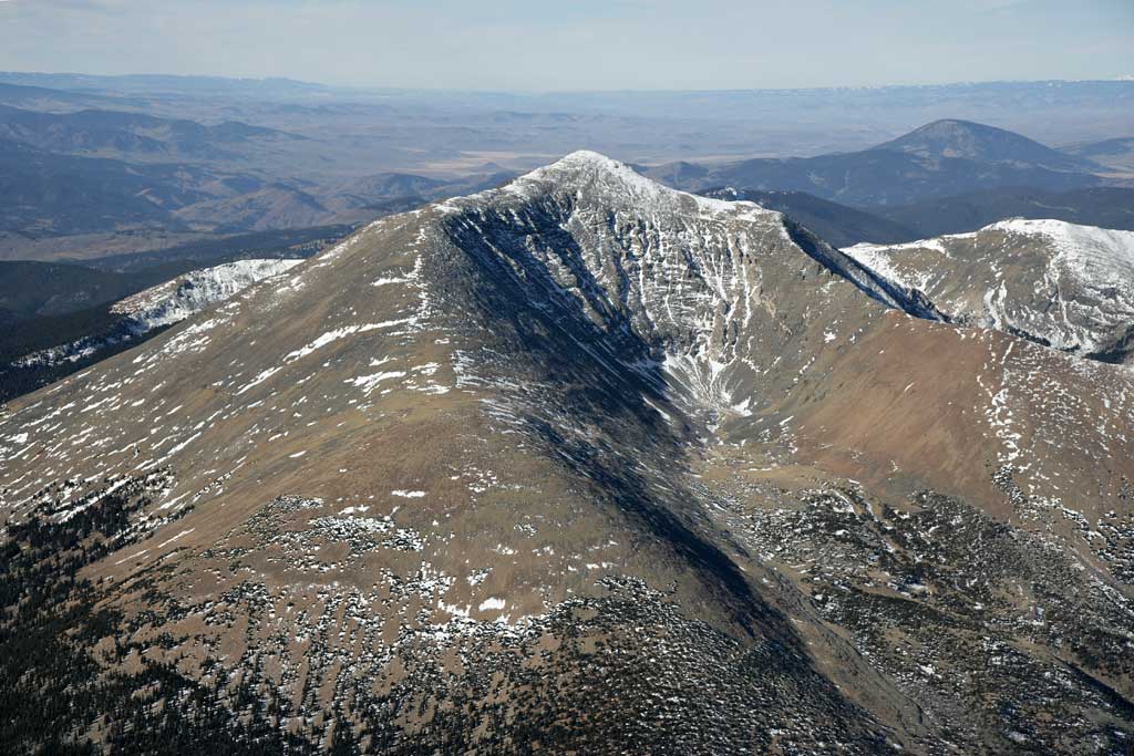
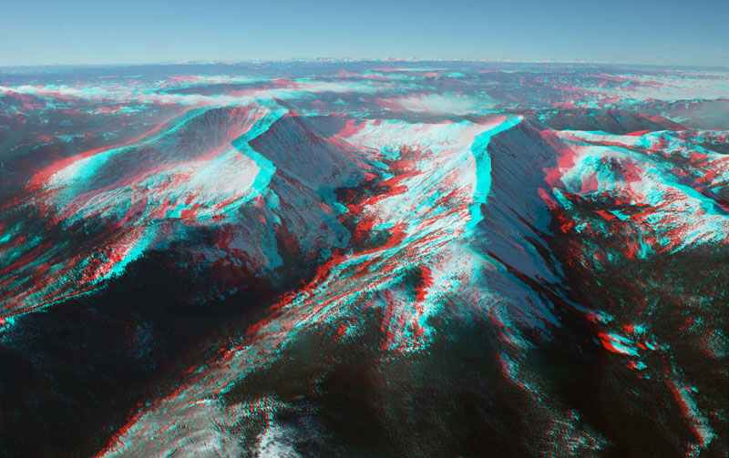
Where Sawatch & Sangres meet |

![]()

© 2012 PikesPeakPhoto. All rights reserved.