Major Part of the Central Sangre de Cristo Range

![]()

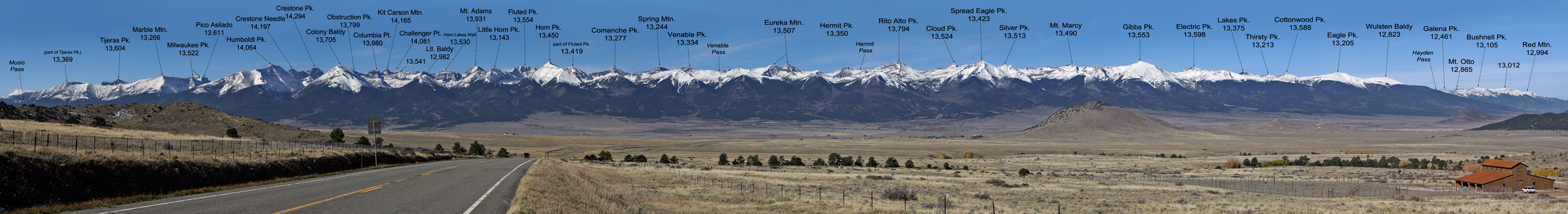
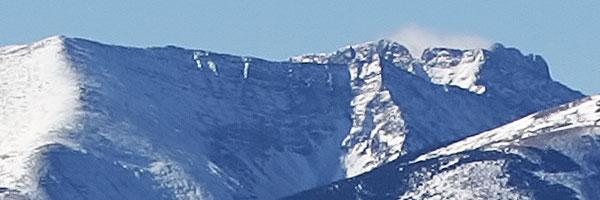
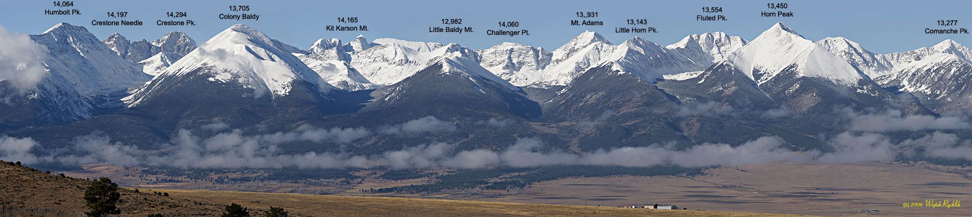
This shot was made from Hwy 96, a couple of miles west of Westcliffe, CO on October 16, 2005. You need to move the scroll bar to view the entire photo. A 100% magnification crop from Marble Mtn. to Pico Asilado is shown on the thumbnail on the right in order to resolve ambiguity of the top image. A broader view of Wet Mountains Valley, including North Sangre de Cristo and some of Collegiate Peaks is shown below. The photo was made in May of 2007. Aerial views of the Cental Sangres you can find here. Photo Technical Data Bottom: Right-top:
|
|
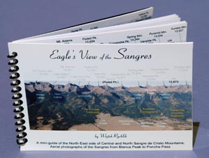
You may purchase this 6x4" booklet "Eagle's View of the Sangres" containing 20 pages of aerial photos covering, with detailed descriptions, all the mountains viewed from the East from Blanca Massif to Salida for only $16 (shipping and taxes are included). This is a really wide panorama printed on a real glossy photographic paper.

© 2005-10 PikesPeakPhoto. All rights reserved.