
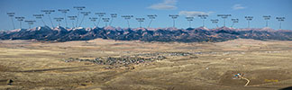
Central Sangre de Cristo from Westcliffe (note: large file - about 2M)

Wide view covering area from Spanish Peaks to Hunts Peak, east side
 Wide view covering all the Sangres, west side
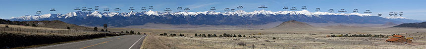
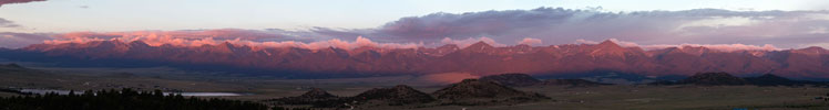
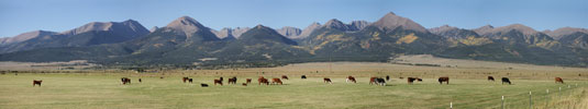
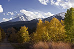
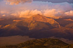
 Central and North Sangre de Cristo from Westcliffe (note: large file - about 2M)
![]()
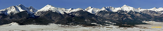
Central and North Sangre de Cristo from Hwy 69 South of Westcliffe Airport (note: large file - about 2M)
![]()
Central Sangres Line-Up (aerial photo, 9936 pix wide)
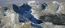
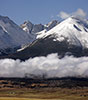
Mitchell Mountain
From Humbolt to Horn Peaks

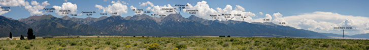
Sangre de Cristo from San Luis Valley (posted jpg file is 7630 pixels wide, about 1M file)
 -
-  -
- 
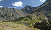
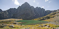
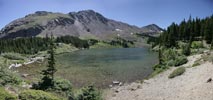
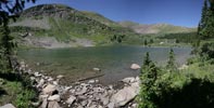
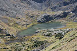
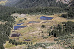
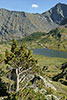
Lower (left) and Upper South Colony Lakes
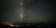
- - - - - - - - - - - - - Milky Way
 -
- 
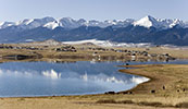
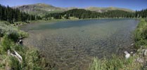
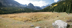
Lake DeWeese and a meadow nearby
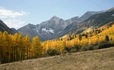
Sangres near Crestone
 -
- 
Spread Eagle at Sunrise - - - - - - - - - -
Gibbs Peak at Sunrise
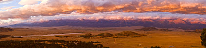
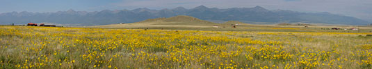
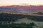
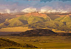
Wet Mountains Valley at Sunrise
Wet Mountains Valley at Sunrise #2
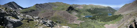
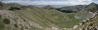
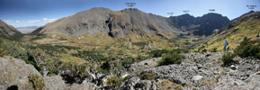
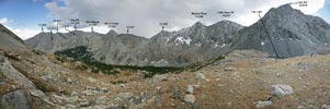
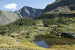
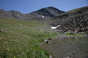
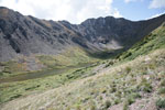
Lakes of the Clouds Valley
 -
-  -
- 
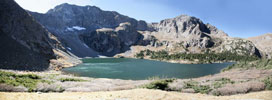
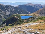
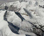
Lower, Middle and Upper Lake of the Clouds
 -
- 
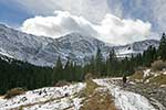
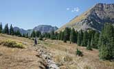
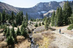
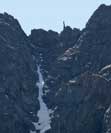
Hermit Pass -
-
-
-
-
-
-
-
-
- - - -
-
-
-
-
-
-
-
-
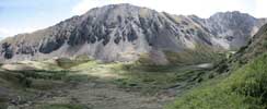
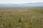
Dry Lakes Valley
SW view from Hermit Peak
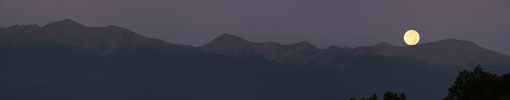
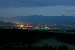
Moonset over Sangres
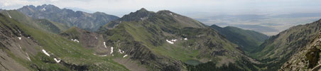
Horn Lakes Valley
Wet Mountains Valley
 -
- 
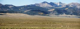
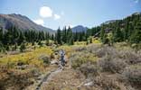
Pronghorns near Music Pass
-
-
- - -- - - - - - - - - - - - - - - - - - - - - -
-
-
-
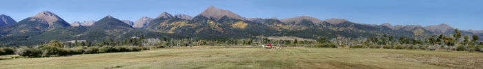
Wet Mountains Valley Ranch
 -
- 
Huerfano Valley
- - - -- - - - -- - - - -- - - - --South Huerfano Aerial View
 -
-
View from Lily Lake- - - - - - - - - - Upper Sand Creek Lake
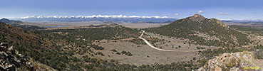
View from the Round Mountain
Other photos of Sangres:


© 2004-12 PikesPeakPhoto. All rights reserved.